Austria's Hiking Trail Signage Systems and Their Role in Supporting Daily Commutes for International Residents Settling Near National Parks
Geschrieben von Katja Günther · 1.11.2026
Austria's Hiking Trail Signage Systems and Their Role in Supporting Daily Commutes for International Residents Settling Near National Parks
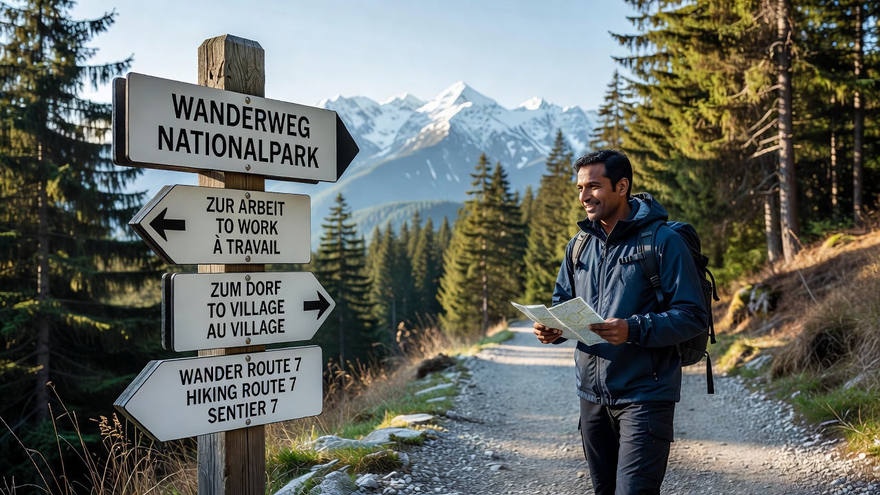
Austria maintains an extensive network of marked hiking trails that span alpine regions and connect rural communities near several national parks including Hohe Tauern, Gesäuse and Kalkalpen, where standardized signage systems guide movement through mountainous terrain. These markings consist of red-white-red stripes painted on trees, rocks and posts, while directional signposts display estimated walking times, elevation gains and destination names in both German and English at many locations. International residents who settle in villages adjacent to these parks often rely on the same trails for daily travel between homes, workplaces and transport hubs because road access remains limited in steep valleys.
Trail Marking Standards Across Austrian Regions
The Austrian Alpine Club coordinates trail maintenance in cooperation with provincial tourism boards and forestry services, ensuring that paths receive consistent updates to reflect seasonal conditions such as snow cover or rockfall risks. Signposts typically include color-coded symbols that indicate difficulty levels, with blue for easy routes, red for moderate hikes and black for challenging sections that require sure-footedness. Data from the Austrian Federal Ministry of Agriculture, Forestry, Regions and Water Management shows that over 50,000 kilometers of trails receive annual inspections, and updates scheduled for November 2026 will incorporate additional multilingual panels at trailheads near popular settlement areas.
Those who study trail usage patterns note that the system originated in the late 19th century when mountaineering clubs first standardized markings to reduce lost hikers in remote areas. Today the same framework supports commuters who walk or cycle segments of these paths instead of driving narrow mountain roads, particularly in districts where public bus schedules align with trail junctions. International arrivals receive orientation materials from local municipalities that explain how to interpret time estimates on signs, which account for average walking speeds rather than athletic paces.
Integration With National Park Infrastructure
National park authorities maintain separate yet complementary signage inside protected zones, often using wooden posts with park logos alongside the standard red-white-red markings to avoid visual clutter. Residents near park boundaries find these combined indicators helpful when routes cross from agricultural land into protected zones, where motorized traffic faces restrictions. Studies conducted by the University of Natural Resources and Life Sciences in Vienna indicate that trail networks around Hohe Tauern National Park see regular use by local workers traveling to service jobs in tourism facilities, and the clear directional information reduces navigation errors during early morning or evening commutes.
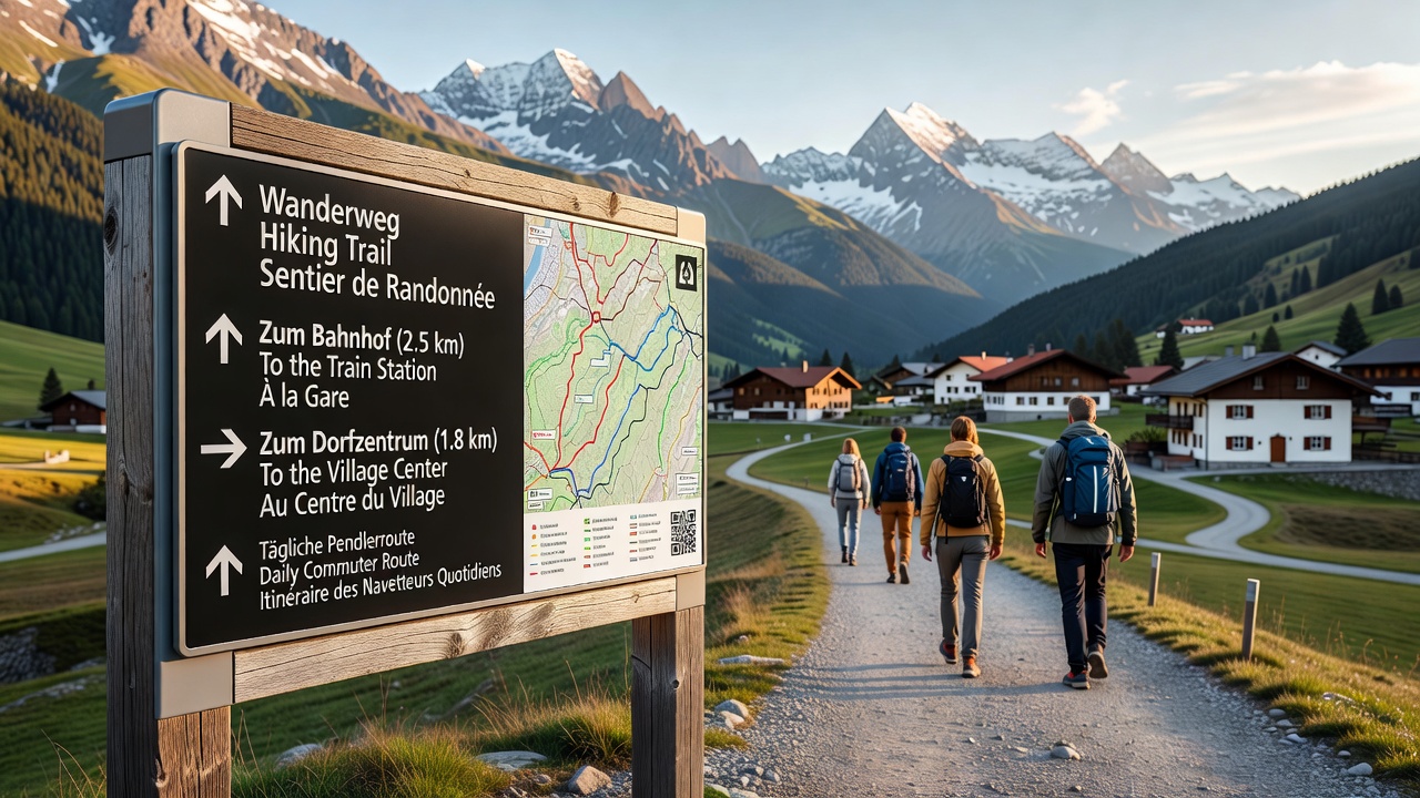
What's interesting is how signage placement at regular intervals of roughly 500 meters helps new arrivals build mental maps of their surroundings without needing constant GPS checks. In communities such as those bordering Gesäuse National Park, trail junctions often coincide with bus stops or train stations, allowing residents to combine walking segments with public transport for longer commutes. Provincial governments publish annual reports that document trail condition improvements funded through tourism levies, and these enhancements directly affect accessibility for people relocating from abroad who lack personal vehicles.
Support for International Residents in Rural Alpine Districts
Settlement patterns near national parks show increasing numbers of international residents choosing smaller communities for quality of life reasons, and trail signage plays a practical role in daily logistics. Municipal integration programs distribute maps that overlay hiking paths with everyday destinations such as schools, medical centers and grocery stores, highlighting sections safe for year-round passage. Observers from regional planning offices report that English-language additions to signposts have expanded since 2023, with further multilingual expansions planned by late 2026 to accommodate growing expatriate populations in Tyrol and Styria.
Trail networks also intersect with cycling routes in flatter valley sections, where shared signage helps commuters switch between walking and biking depending on weather or load carried. The Austrian Alpine Association provides downloadable GPX files that match physical markers, giving residents digital backups when phone signals weaken in deep gorges. Figures from Statistics Austria reveal steady growth in foreign nationals registering addresses in park-adjacent districts, many of whom cite reliable local infrastructure including trail access as a factor in their relocation decisions.
Maintenance Schedules and Seasonal Adjustments
Maintenance crews refresh paint markings each spring after snowmelt, while winter months see temporary closure notices posted at trailheads for avalanche-prone sections. International residents learn through local community boards that certain paths remain viable for commuting even when others close, thanks to the detailed information on elevation and exposure printed on signs. Coordination between park rangers and municipal road services ensures that signage remains visible after storms, with reflective materials added to posts in high-traffic commuter corridors.
One study revealed that consistent signage reduces emergency calls related to disorientation in alpine areas, allowing rescue teams to focus resources elsewhere. Residents who have lived near Kalkalpen National Park for several seasons often develop routines that incorporate trail segments into their weekly schedules, using the predictable layout to plan around seasonal tourism peaks.
Conclusion
Austria's trail signage framework continues to evolve with input from both tourism authorities and local governments, extending its utility beyond recreational hiking into practical daily mobility for international residents in national park regions. Continued updates scheduled through 2026 aim to maintain clarity across changing settlement patterns while preserving the standardized elements that have guided travelers for generations.